Header Image

Instrumentation

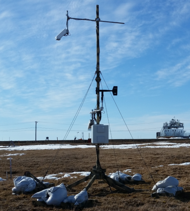
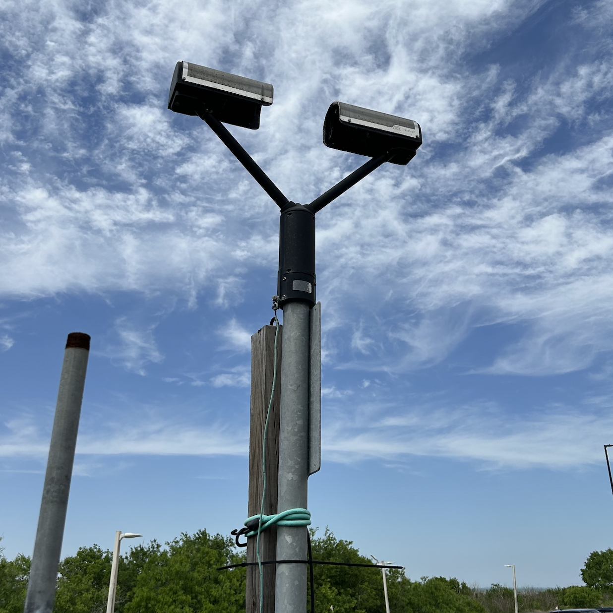
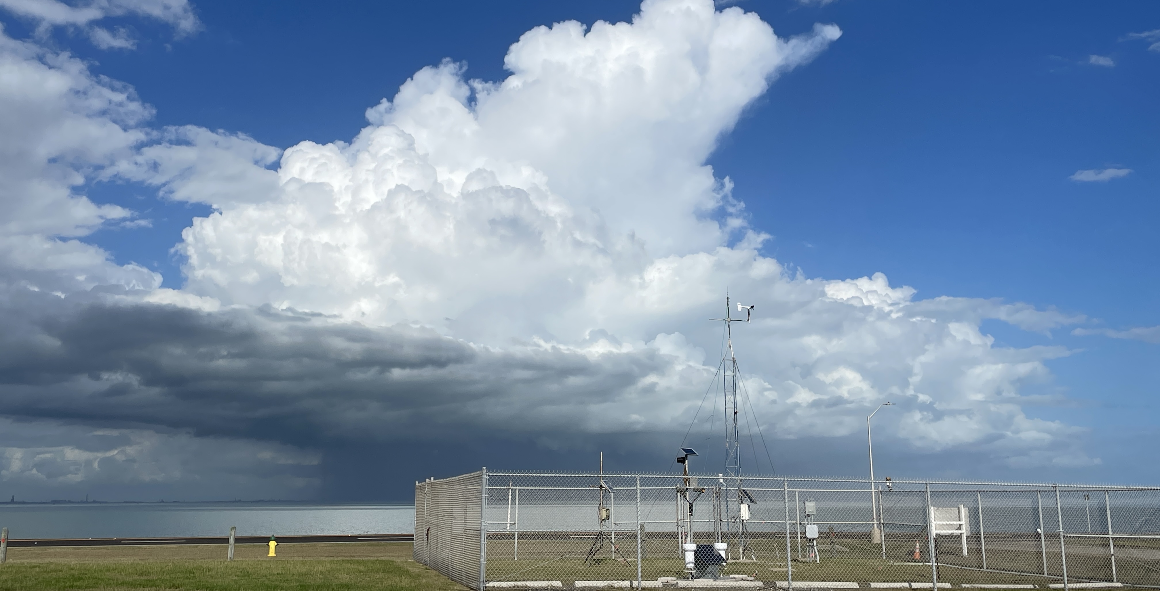
Our program is equipped with a robust suite of cutting-edge meteorological instruments that support both research and education. At the heart of our field capabilities is a fully functional weather tower built with Campbell Scientific instrumentation, which samples atmospheric variables every 5 seconds to provide high-resolution surface data. 
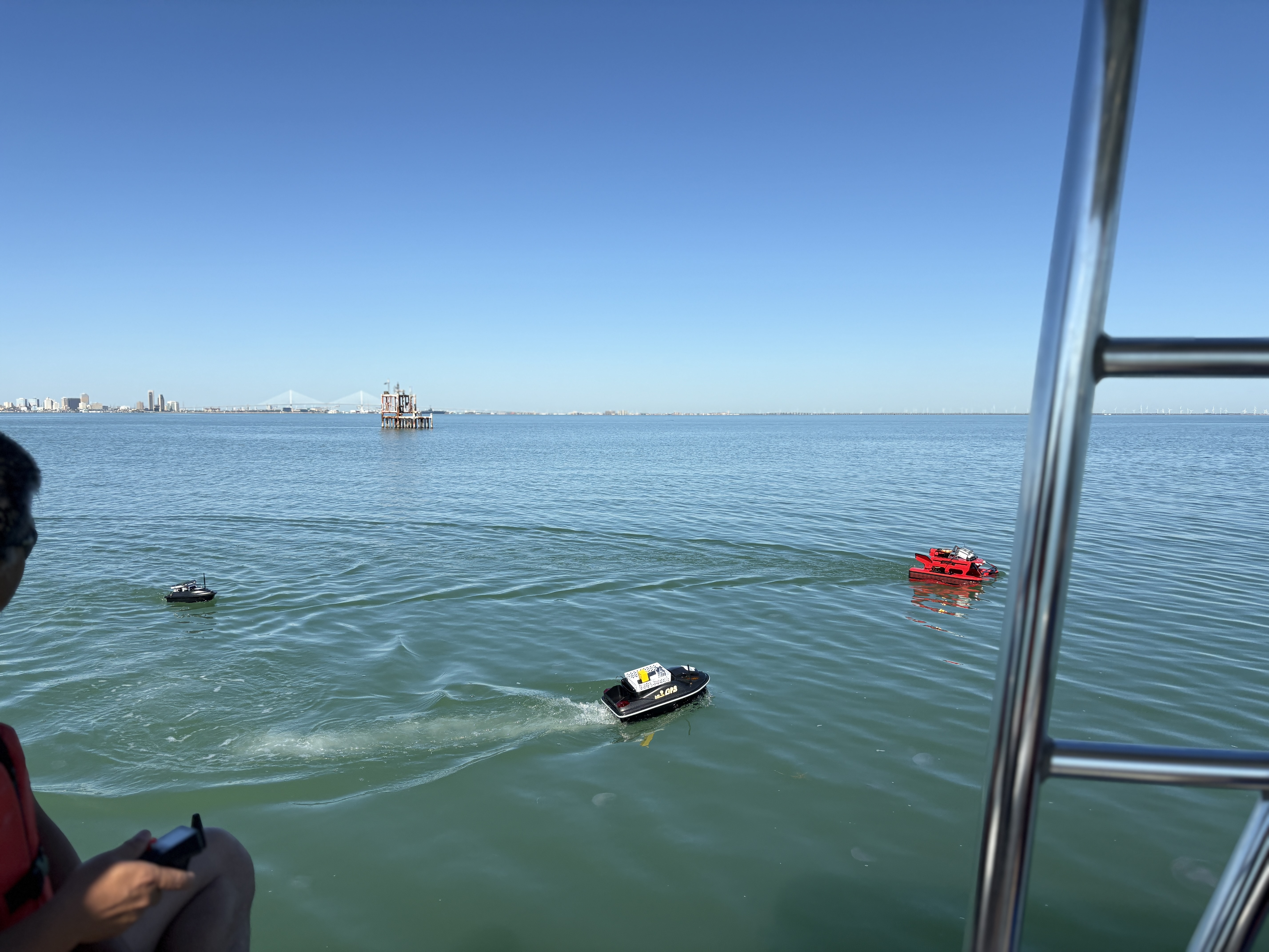
We also maintain multiple electric field mills deployed across the U.S. — including sites in Wallops Island, VA; Barrow, AK; and Grand Forks, ND — to support studies in atmospheric electricity and lightning. In addition, our airborne field mills are used to obtain a higher sampling rate of the global electric circuit during storm and fair-weather missions. Complementing these instruments is a vertically pointing Micro Rain Radar (MRR Pro) for profiling precipitation and two disdrometers, one of which is integrated with a NASA-provided tipping bucket rain gauge. Together, these tools provide rich datasets for hands-on student learning and innovative weather research.

Click on the tabs to the right to learn more about each instrument, view photos, and access data.

TAMUCC Weather Tower

weather_tower

Our campus-based weather tower provides continuous surface observations, including temperature, relative humidity, wind speed and direction, solar radiation, precipitation, and atmospheric pressure. Built with Campbell Scientific instrumentation, the tower has been collecting high-resolution data since 2016 with a sampling interval of every 5 seconds. Data from the tower supports forecasting labs, student projects, and ongoing research.

Electric Field Mills

CS100 deployed in

We operate two types of electric field mills: the CS110 and E100 (aircraft field mills), to measure atmospheric electric fields. With over 10 sensors in total, our network includes fixed deployments in Corpus Christi, TX; Wallops Island, VA; Barrow, AK; and Grand Forks, ND, as well as rotating deployments across the United States and near polar regions. These instruments play a key role in lightning research, fair-weather electric field studies, and investigations into the global electric circuit.

MRR - Vertical Pointing Radar

MRR Pro Outside science lab 1

The Micro Rain Radar, MRR-Pro, is a vertically pointing radar located on campus at Science Lab 1. Operating at K-band (24 GHz), the MRR observes different types of precipitation at varying altitudes. It profiles key vertical precipitation properties such as: radar reflectivity, doppler velocity, and derived rain rate.

Disdrometers

disdrometers

Our program operates two optical disdrometers that use a laser to measure the size and fall velocity of individual raindrops as they pass through the sensing area. These instruments provide detailed drop size distribution (DSD) data, including drop count, diameter, and velocity. One disdrometer is connected to a NASA-provided tipping bucket rain gauge, allowing for direct comparison between optical and volume-based precipitation measurements. The sensors can detect raindrops as small as 0.2 mm in diameter, making them valuable tools for high-resolution rainfall studies.

NASA Rain Gauge

tipping buckets

The NASA Tipping Bucket Rain Gauge records accumulated rainfall by counting the number of bucket tips, with each tip representing a fixed volume of precipitation. These tipping buckets are a part of a NASA's initiative, which provides qualifying institutions with instrumentation to collect surface-based atmospheric measurements. When paired with an optical disdrometer, this setup allows for cross-validation between volume-based and drop-based rainfall measurements, enhancing the accuracy of precipitation analysis.